
Jatiluwih
Rice calendar
Tap a month to see how the terraces look. Dates are typical and change a little from year to year and field to field.
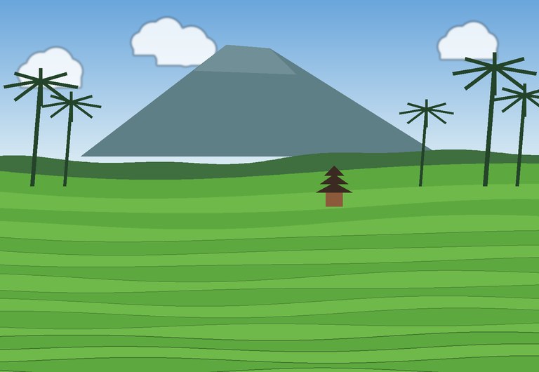
Jatiluwih, in the Tabanan regency of Bali, is one of the largest and most beautiful rice landscapes on the island. At about 700 metres above sea level, its wide terraces follow the curves of the land, with Mount Batukaru rising behind them.
The subak system
Bali’s rice fields are watered by the subak, a community system that shares water between farmers through canals, tunnels and weirs. Water temples stand at the heart of the system, and farmers meet there to agree when to flood, plant and harvest.
The subak follows the Balinese idea of Tri Hita Karana, harmony between people, nature and the spiritual world. In 2012 it was inscribed on the UNESCO World Heritage List as the Cultural Landscape of Bali Province, and Jatiluwih is part of it.
More than one harvest
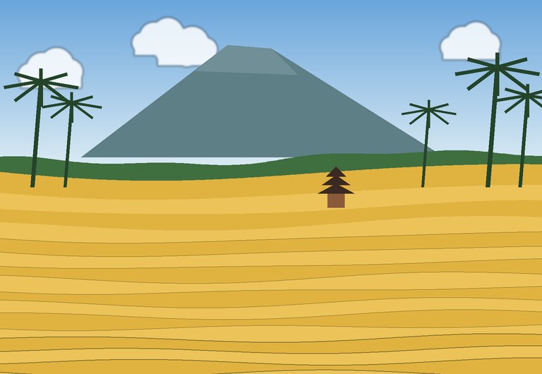
In Bali’s warm climate rice can be grown more than once a year. Planting dates are set by each subak, so neighbouring fields can look different at the same time: some flooded, some green, some golden.
Visiting tips
- Several walking trails of different lengths lead through the terraces. Take one early, before the midday heat.
- Bring a sarong if you plan to visit temples nearby.
- Try a local meal with Balinese red rice, grown in the area.
Key facts
| Location | Tabanan, Bali, Indonesia |
| Altitude | About 700 m |
| Water system | Subak, shared by farming communities |
| Philosophy | Tri Hita Karana |
| UNESCO World Heritage | Since 2012, Cultural Landscape of Bali Province |